
Seen from space
Broken Bow Growth, 2017 to 2026
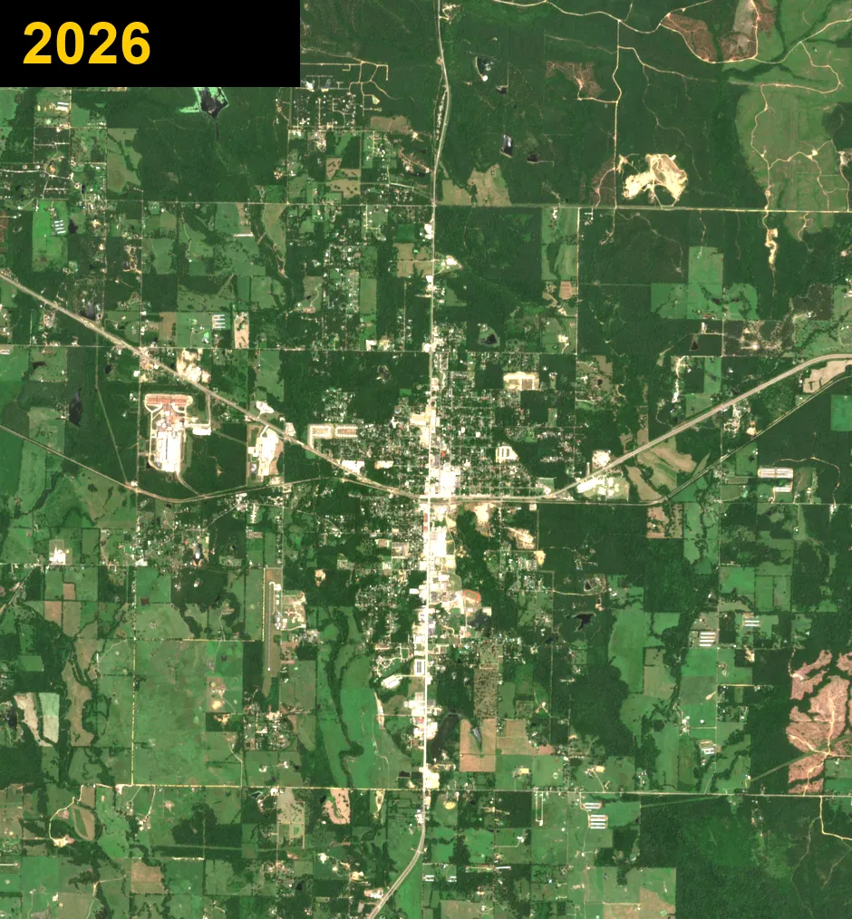
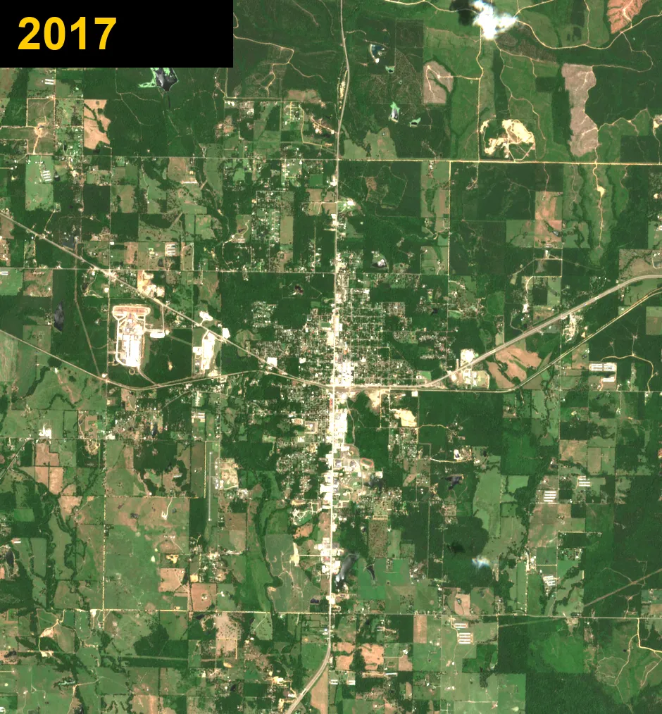
Broken Bow grows slower than Hochatown up the road, but it does grow. Nine years later, there are new streets of homes on the north side and new buildings along the highways. These are real satellite pictures, one for every year.
Watch Broken Bow grow
Every year from 2017 to 2026, one after another.
Then and now
Slide to compare 2017 (left) with 2026 (right).
Pick a year
New land cleared in Broken Bow
Every Saturday we compare the newest satellite picture with one from a year earlier. Spots where woods turned to bare ground show up here, circled in red. Cleared land can mean new homes, roads or businesses, or timber cutting. The pictures are too blurry to tell what is being built.
Seen October 12, 2026
2 spots, about 4.0 acres in all, compared with a picture from a year before.
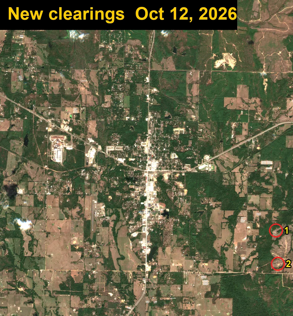
- 1About 2.9 acresSee on map
- 2About 1.1 acresSee on map
How Broken Bow grew
US-259 runs top to bottom through the middle of town, and US-70 crosses it from east to west. Broken Bow has changed less than Hochatown since 2017, and that is the story here: a steady town with new homes on the north side, new shops and buildings along the highways, and timber cut and replanted around the edges.
Want to see the fast-growing side of the county? Look at Hochatown growth from 2017 to 2026, about 10 miles north.
Each dot in these pictures is about 30 feet across, so you can see roads and cleared land but not single cabins or cars.
Contains modified Copernicus Sentinel data 2017–2026 (European Space Agency).