
Valliant • Ringold • McCurtain County
What Does Pine Creek Lake Look Like Now That It's 13 Feet Low?
Short answer: much smaller than usual. On November 15, 2026 the Corps of Engineers read Pine Creek Lake at 13 feet below normal, with its regular water pool only about 23 percent full, so the water line sits well back from the usual shore.

Pine Creek Lake level
The short answer
It looks a lot smaller than usual. The U.S. Army Corps of Engineers, which runs the dam, read Pine Creek Lake at 425.0 feet on November 15, 2026. That is 13 feet below the normal level of 438 feet, and the lake's regular water pool was only about 23 percent full.
At that level, expect the water line to sit far back from where it usually is, with wide bare banks, and with shallow coves and the upper creek arms much smaller or turned to mud. Boat ramps that reach the water at normal level may end on dry ground.
The level changes slowly and comes back up with heavy rain. The Corps posts a fresh reading every hour on its Pine Creek Lake page, so check it before you drive out.
- Level on Nov 15, 2026: 425.0 ft, 13 ft below normal
- Normal level: 438 ft, the top of the regular water pool
- Water pool full: About 23 percent
- Dam release: 47 cubic feet per second
- Lake office: 175 White Dove Lane, Valliant · (580) 933-4239
- Live level: Corps of Engineers Tulsa District, Pine Creek Lake page
📏 The numbers
How low Pine Creek Lake is right now
Pine Creek Dam sits on the Little River about 8 miles north of Valliant, and the lake reaches up into Choctaw and Pushmataha Counties. The Corps keeps the lake near 438 feet in normal times. On November 15, 2026 it read 425.0 feet, 13 feet down.
That left about 12,900 acre-feet of water in the lake, and the regular water pool was about 23 percent full. The dam was letting out just 47 cubic feet per second, a small trickle to keep the Little River flowing below it. The Corps page gives the reading, not the reason, so call the lake office if you want to know more.
🚤 Ramps and parks
Boat ramps and parks when the water is low
The Corps runs Little River Park, Lost Rapids, Pine Creek Cove and Turkey Creek around the lake. Campsites at these parks are booked on Recreation.gov, and Little River, Lost Rapids and Pine Creek Cove have courtesy docks.
With the water 13 feet down, some ramps may not reach the water. Call the Pine Creek Lake office at (580) 933-4239 before you tow a boat out, and ask which ramps are usable. Watch for stumps, rocks and sandbars that are normally under water.
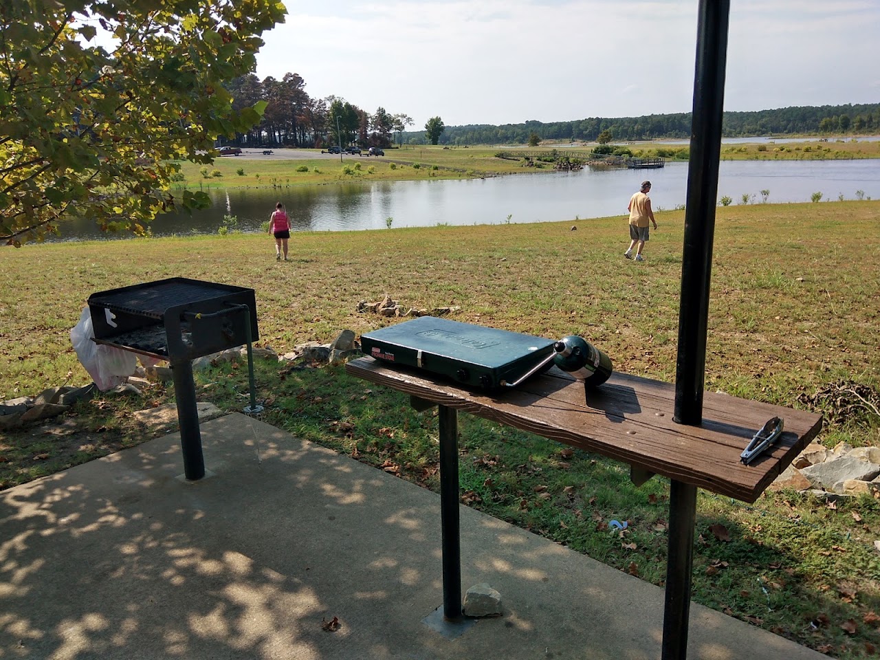
 🚤 Corps park near the dam · Recreation.gov
Pine Creek Cove recreation area is a campground in Valliant, on the west side of McCurtain County near Pine Creek Lake.
See hours, photos & directions →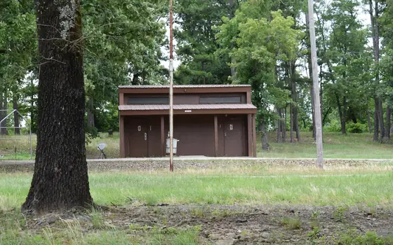 🚤 North end near Ringold · (580) 876-3720
Turkey Creek Landing is a campground at Ringold in northwestern McCurtain County, on Pine Creek Lake.
See hours, photos & directions →🎣 Fishing
Fishing Pine Creek Lake while it's low
The Corps lists crappie, white bass, largemouth bass, channel catfish, flathead catfish and sunfish as the main fish here. Low water pulls fish into the deeper channels and the remaining water near the dam.
Want someone who knows the lake? David's Guide Service in Wright City guides crappie and bass trips on Pine Creek Lake and Broken Bow Lake year-round. Call (580) 306-4627.
 🎣 Crappie & bass trips on Pine Creek
📱 Check it yourself
Where to check the Pine Creek Lake level
Search for the Corps of Engineers Tulsa District Pine Creek Lake page. It shows the lake elevation, how many feet above or below normal it is, and the dam release, updated every hour.
Getting there: from Idabel, go 18 miles west on US-70 to Valliant, 1.5 miles north on Dalton Street, then 7 miles north on Pine Creek Road. The lake office is at 175 White Dove Lane.
🗺️ Everything on one map
Find it on the map
📅 This week & coming up
Outdoor events coming up nearby
🛏️ Places to stay
Find a place to stay near Hochatown
This map shows cabins and vacation rentals around Hochatown with prices. Add your dates to see what's open.
Tap a price to see photos and book. Add your dates on the map to see what's open. We may earn a small commission if you book. It doesn't change your price.
💡 Before you go
Good to know
Check before you go
The Corps posts a new reading every hour.
Call about ramps
Pine Creek Lake office: (580) 933-4239.
Watch the bottom
Stumps and sandbars sit close to the surface when it's low.
It comes back
Heavy rain can raise the lake fast.
Book on Recreation.gov
Corps campsites around the lake are reserved there.
❓ Good to know
Common questions
How low is Pine Creek Lake right now?
On November 15, 2026 the Corps of Engineers read it at 425.0 feet, 13 feet below its normal level of 438 feet. Check the Corps Tulsa District Pine Creek Lake page for today's number.
What does Pine Creek Lake look like when it's this low?
Much smaller. The regular water pool was only about 23 percent full, so expect wide bare banks, a shoreline far back from normal, and shallow coves and creek arms that are low or muddy.
Are the Pine Creek Lake boat ramps open?
Some ramps may not reach the water at this level. Call the lake office at (580) 933-4239 before you tow a boat out.
Who runs Pine Creek Lake?
The U.S. Army Corps of Engineers, Tulsa District. The lake office is at 175 White Dove Lane in Valliant.
Can you still fish Pine Creek Lake when it's low?
Yes. Crappie, bass and catfish are the main fish, and David's Guide Service in Wright City runs trips there year-round.
🧭 Keep planning