
River · Cold trout water, all year long
Mountain Fork River
Every business in our directory along the Mountain Fork River, 15 in all, with photos, hours and directions.
About Mountain Fork River
Cold trout water, all year long
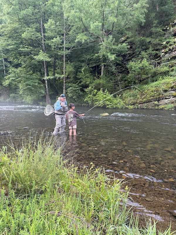
This river starts high in Le Flore County, dips into Arkansas, then comes back to fill Broken Bow Lake. Above the lake it's a state scenic river and a popular float after good rains. Below the dam, cold lake water keeps a 12-mile trout area cool enough for rainbows and browns all year. Bring a fishing license, and get out of the water if you hear the dam's horn.
This page lists every business in the Reservation Destination directory that is within about a mile (1.5 km) of the Mountain Fork River, above or below the lake: 15 businesses in all, including 7 places to stay and 8 activities and attractions. Tap any business for its hours, photos, phone number and directions.
- Type: River
- Where: McCurtain County, Oklahoma
- Listed here: businesses within about a mile (1.5 km) of the Mountain Fork River, above or below the lake
- Businesses: 15
- Updated: November 7, 2026
🏡 Places to Stay
Places to Stay along the Mountain Fork River (7)
 Direct Booking Cabins
 Cabin Rental Company
 Direct Booking Cabins
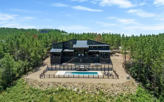 Cabin Rental Company
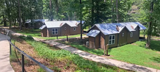 Campground
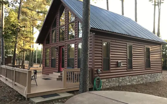 Cabin Rental Company
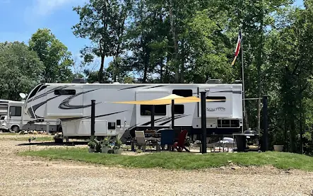 RV Park
🎯 Activities & Attractions
Activities & Attractions along the Mountain Fork River (8)
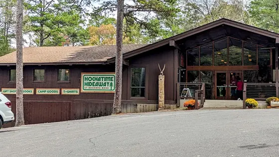 Museum / Attraction
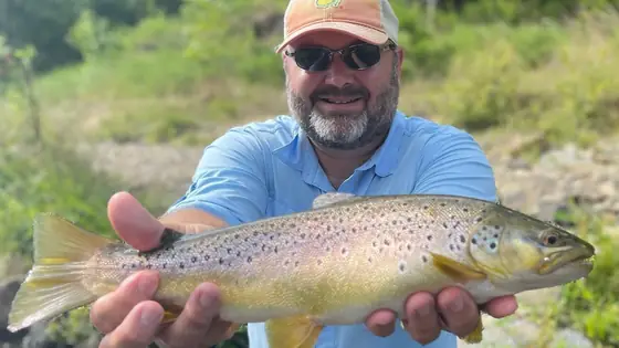 Fishing Guide
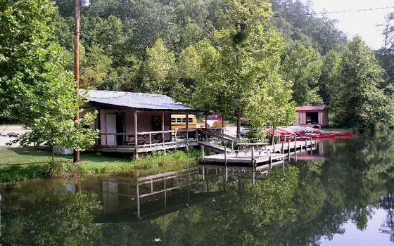 Canoe & Kayak Rental
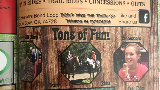 Train Rides & Horseback Riding
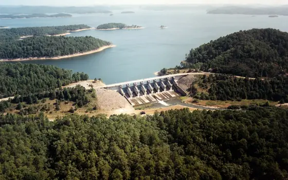 Lake
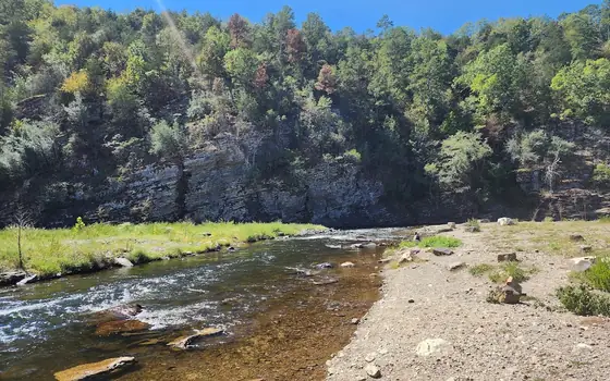 Outdoor Attraction
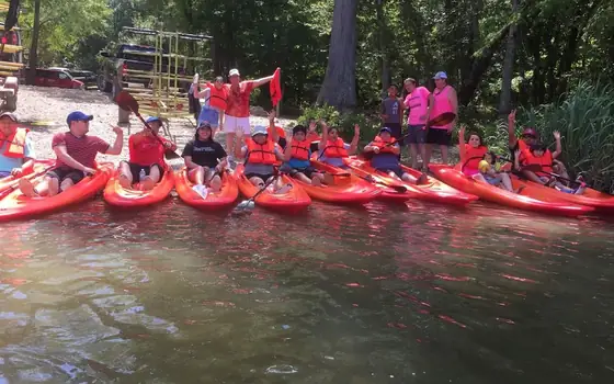 Canoe & Kayak Rental
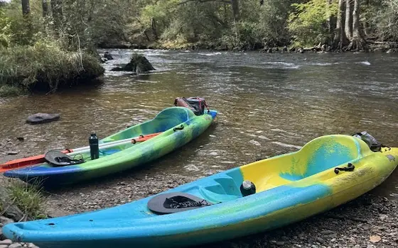 Canoe & Kayak Rental
🛏️ Places to stay
Places to stay along the Mountain Fork River
This map shows cabins and places to stay along the Mountain Fork River, with prices. Add your dates to see what's open.
Tap a price to see photos and book. Add your dates on the map to see what's open. We may earn a small commission if you book. It doesn't change your price.
More about Mountain Fork River
Getting to know the Mountain Fork
The Mountain Fork River starts high in the Ouachita Mountains of Le Flore County, Oklahoma, inside the national forest. It loops east into Arkansas, then comes back into Oklahoma at the northeast corner of McCurtain County. It fills Broken Bow Lake, runs through Beavers Bend and joins the Little River about 6 miles south of Eagletown.
The upper river: a scenic float
Above the lake, the Upper Mountain Fork is one of six streams Oklahoma protects by law as scenic rivers. Most canoe trips run from Smithville down to the Narrows at the top of the lake. The rapids are small to medium, rated Class I to II+. Floats depend on rain, so trips are usually planned for early spring, summer and late autumn.
The lower river: trout country
Below the dam, cold water released from the lake keeps the Lower Mountain Fork cool enough for trout, even in an Oklahoma summer. The Oklahoma Department of Wildlife Conservation (ODWC) started the fishery in 1989 and stocks rainbow and brown trout all year. The trout area runs 12 miles, from the spillway down to the U.S. 70 bridge. About five miles of it are inside Beavers Bend. Oklahoma's state record brown trout, over 17 pounds, came from this river in 2005.
Before you cast:
- You need an Oklahoma fishing license. There is no separate trout license.
- Hooks must be barbless. Bait is allowed.
- Two zones have their own daily limits and trophy size rules, so read the current ODWC trout rules.
- A loud horn means the dam is letting out a lot of water, and the river may rise fast. Get out of the water.
- Clean and dry your waders and gear. A nuisance algae called didymo, or "rock snot," has been found here.
The lower river is also a popular canoe and kayak float from spring through fall. For trout tips and local guides, see the trout section of our Beavers Bend State Park visitor guide.
Keep exploring